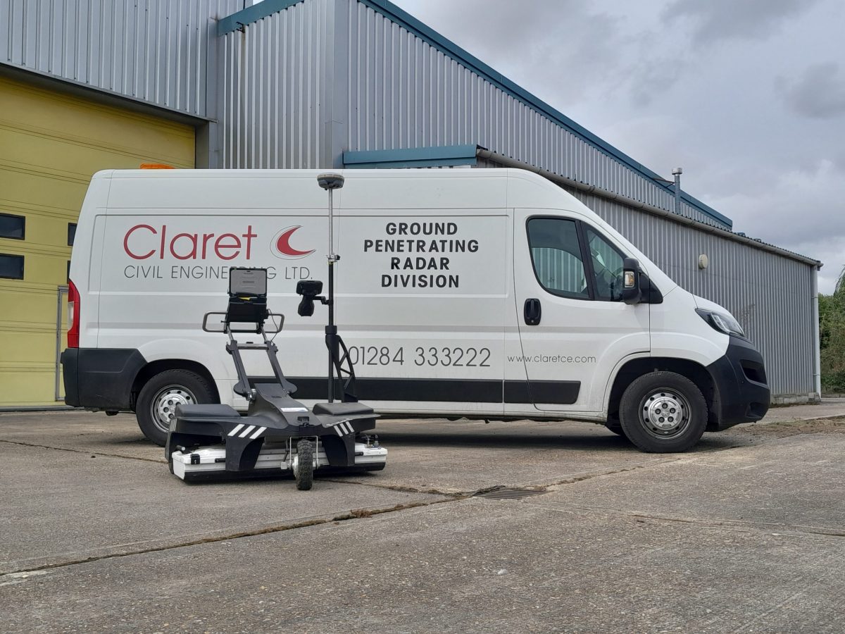
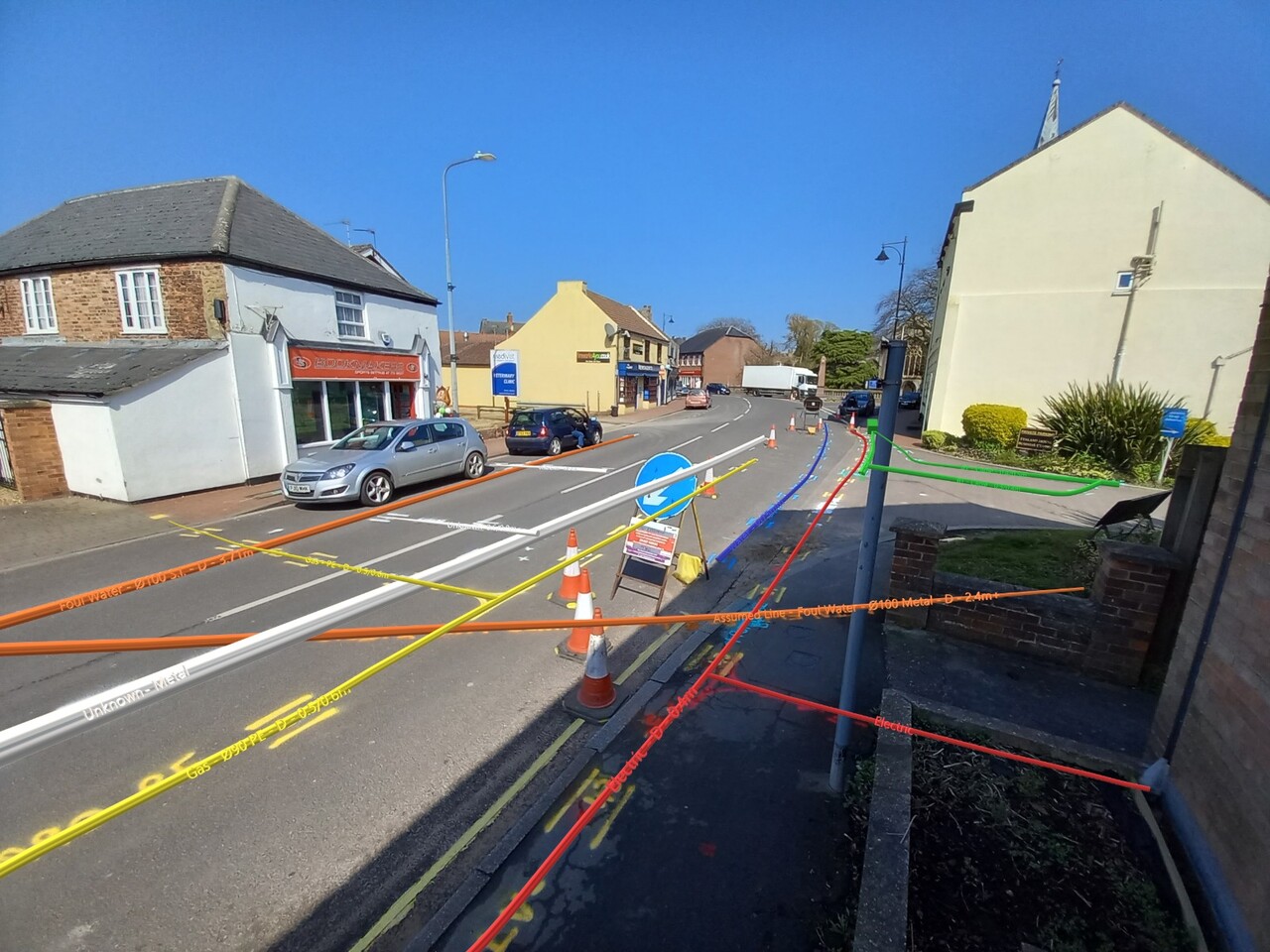
This website uses cookies to ensure you get the best experience on our website.
Claret Civil Engineering are able to undertake GPR surveys to locate and map underground services and substructures. Our trained technicians can interpret the radar images to complete site mark ups or export data into drawings.
The GPR unit transmits a radio signal into the ground, which returns when it encounters objects. This is interpreted to confirm the location and the depth of the objects.
A GPR works best when there is a big difference in the electromagnetic properties of the materials being surveyed. Meaning metallic objects make ideal targets.
The GPR unit transmits a radio signal into the ground, which returns when it encounters objects. This is interpreted to confirm the location and the depth of the objects.A GPR works best when there is a big difference in the electromagnetic properties of the materials being surveyed. Meaning metallic objects make ideal targets.